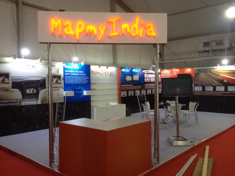
New Delhi, February 3, 2016: MapmyIndia, India’s leader in digital maps, GPS and location technologies will be showcasing novel and innovative technologies that will help build self-driving cars, at the Auto Expo 2016 – Components Show, from Feb 4th-7th at Stall No. 35, Hall No. 2-5, Pragati Maidan, New Delhi. MapmyIndia will also be showcasing its range of automotive and transportation focused map and GPS products and solutions.
“MapmyIndia’s mission is to make the world better through maps and location technologies. We are very passionate about making cars and cities in India smarter and safer, which can ultimately improve the lives of all citizens in India. We have been building extremely detailed, accurate and updated maps of India for the last 20 years and have continuously invested in building cutting-edge technologies that can push the boundaries of what’s possible in India. Today, we are in a unique position to provide vital technologies, which can accelerate the advent of self-driving cars in India. We are well integrated into the automotive OEM universe and look forward to showcasing our latest technologies at Auto Expo. I am happy to say that MapmyIndia’s maps, location technologies and solutions have stood the test of time and demands of the industry. We will continue to introduce innovative map and GPS technologies and solutions that help make India better,” says Rakesh Verma, Managing Director, MapmyIndia
RealView Technology and Advanced Maps for Self-Driving Cars
To add additional safety and self-driving capabilities in cars, MapmyIndia is offering to vehicle manufacturers a novel solution, RealView, in addition to its Advanced Map data that already powers the navigation systems in most cars in India today. MapmyIndia RealView syncs high-resolution panoramas (360 degree photos) with highly accurate GPS and accelerometer data to create a ground truth reference dataset for the car’s driving system. In addition, MapmyIndia RealView, when paired with MapmyIndia’s highly detailed and accurate Advanced Map data set for India can be used geo-tag, measure and analyze various assets of interest, such as potholes, speed breakers, road signs, traffic signals overhead bridges, lane markers, road shoulders etc. which can help give cars advanced warning of upcoming objects and help cars make intelligent decisions on driving and alerting maneuvers in advance, improving safety and enhancing Advanced Driving Assistance and Self-Drive capabilities of cars in India. Finally, MapmyIndia RealView can also be used by government agencies, especially transport and road authorities, for improved road design, traffic planning, encroachment analysis etc. to improve the underlying transport infrastructure which can facilitate safer road conditions. At Auto Expo, MapmyIndia will be showcasing demonstrations of its RealView technology. There are many more applications of MapmyIndia’s RealView technologies, and those interested can read more here.
Map and GPS Solutions for Consumers, OEMs and Enterprises
At Auto Expo this year, MapmyIndia will also be demonstrating the following:
• An upcoming consumer product, DriveMate, which is a plug-and-play GPS IoT Device for Vehicle Tracking and Driver Behaviour Monitoring. DriveMate, as an OEM solutions, can also plug into the vehicle’s CAN interface to share vehicle diagnostics and health information.
• Connected Car platform targeted towards car manufacturers and tier 1 system suppliers, which delivers Smartphone-Connected In-car Navigation, Telematics and Map APIs for making the Car Infotainment System and 3rd Party Apps Location-Aware. This platform is already being used by Tata Motors and was recently launched by Jaguar Land Rover as well.
• Computer Aided Dispatch Solution for Emergency Response Vehicles such as Fire Trucks, Ambulances and Police Vehicles and GPS Fleet Management System for School Buses and Logistics Trucks, which can help improve capabilities and productivity of these enterprise fleets. Force Motors is showcasing MapmyIndia’s School Bus Tracking and Live Surveillance Solutions at their pavilion as well.
About MapmyIndia
MapmyIndia (CE Info Systems (P) Ltd.) is India’s leader in premium quality map data and APIs, GPS navigation, tracking, location apps, and GIS solutions. MapmyIndia’s mission is to make the world better through maps and location technologies. A New Delhi-based ISO 9001-2012 company with 750+ people, founded in 1992, MapmyIndia pioneered digital mapping in India, and since 1995, through continuous field surveys and state-of-the-art mapping technology, has built its proprietary MapmyIndia Maps, the most comprehensive, accurate, reliable, full-featured and continuously updated digital map dataset for all India. MapmyIndia builds and provides the most advanced maps of India, the best GPS-based IoT (“Internet of Things”) devices optimised for in-vehicle and personal navigation and tracking, market-leading location-based SaaS (“Software as a Service”) for enterprise and professional use, and popular and delightful hyper-local consumer mobile and web apps, including maps.mapmyIndia.com, India’s very first interactive online mapping portal, and NaviMaps, the best offline GPS navigation app for India.