Strengthening Geospatial Capabilities for Defence
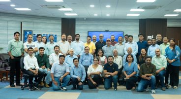
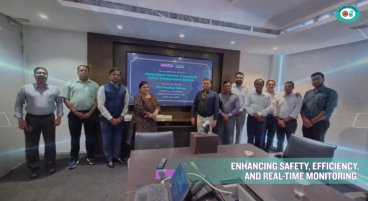
MapmyIndia has successfully supplied and deployed its indigenous Survey Grade Drones for the Indian Army, further strengthening the use of advanced geospatial technologies within defence training and applications.
These Made-in-India drones, equipped with advanced aerial survey and mapping capabilities, will support hands-on training at the Faculty of Geospatial Sciences (FGS) at the College of Military Engineering (CME). The institution serves as a key Centre of Expertise for Geospatial Sciences and Geo-Informatics for the Armed Forces, playing an important role in developing geospatial expertise across defence operations.
Enabling Drone-Based Survey and Mapping Training
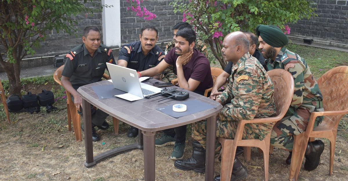
Survey-grade drones have become an important tool in modern geospatial data collection, enabling high-resolution aerial surveys and the generation of accurate geospatial datasets.
The deployment of MapmyIndia’s drones will allow officers and technical personnel to gain practical experience in drone-based surveying, mapping, and terrain analysis, strengthening their capabilities in applying geospatial technologies across operational and planning scenarios.
Indigenous Technology, National Strength
Developed entirely in India, MapmyIndia’s Survey Grade Drones are a direct embodiment of the Atmanirbhar Bharat vision — advancing India’s self-reliance in critical geospatial and defence technologies. By sourcing indigenously developed systems, the Indian Army reduces strategic dependency while investing in the domestic technology ecosystem.
This deployment reflects MapmyIndia’s growing role as a trusted partner to India’s defence establishment, contributing both cutting-edge capability and the confidence that comes with proven, home-grown innovation.