

Menu
-
Products
Products
- Map and Data
- APIs and SDKs
APIs and SDKs
-
![]() See
all APIs
See
all APIs 
Explore our entire suite of APIs & SDKs
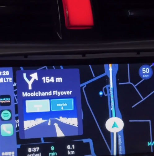
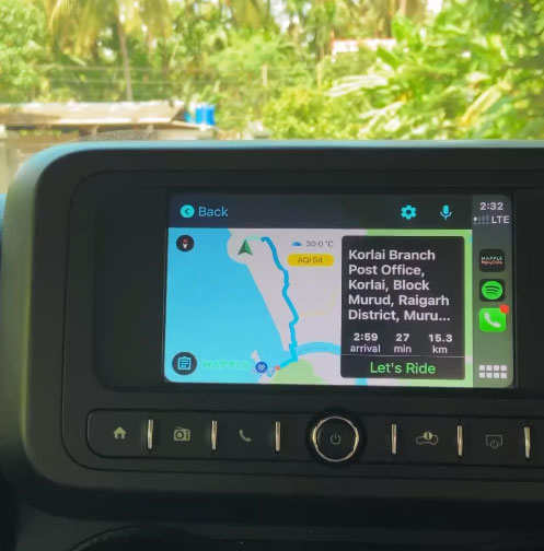
![]() Maps
Maps
SDKs for maps and traffic
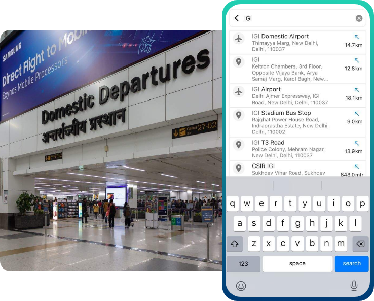
![]() Search & Geocoding
Search & Geocoding
APIs for search and discovery
-
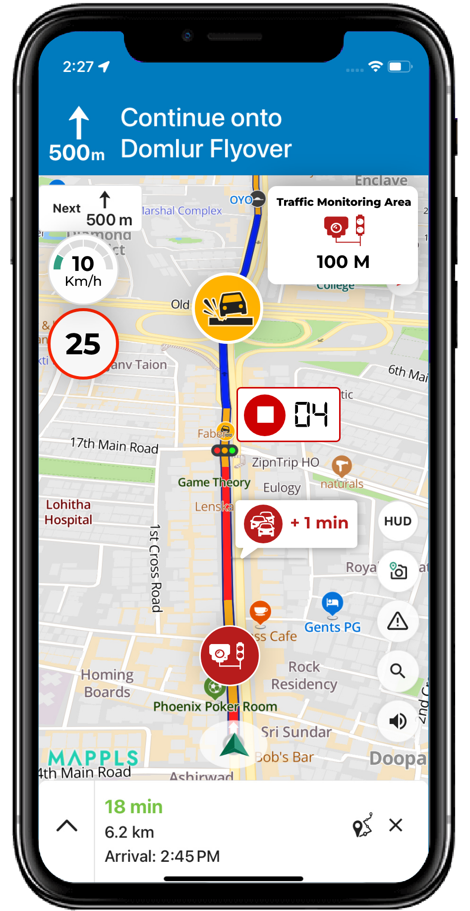
![]() Routes & Navigation
Routes & Navigation
APIs to solve complex routing problems
-
![]() Navigation SDK
Navigation SDK
Connected embedded navigation
![]() Mobility & Tracking
Mobility & Tracking
SDK to enable live location in your apps
-
![]() Global APIs
Global APIs
Maps, search, routes for 238 nations
![]() Personalisation SDK
Personalisation SDK
Hyperlocal, personalised O2O marketing
-
![]() Optimisation APIs
& SDKs
Optimisation APIs
& SDKs
Route planning & optimisation
![]() GIS
and Analytics APIs
GIS
and Analytics APIs
GeoBI meets Location AI
![]() Workmate APIs
Workmate APIs
Field force automation APIs
![]() Mappls App URLs
Mappls App URLs
Embed maps, navigation in your apps
![]() NaviMaps SDK APIs
NaviMaps SDK APIs
Hybrid navgation for embedded systems
-
See all
APIs
![arrow]()
-
- GIS, Analytics and AI
- IoT and Automation
- Navigation and
Mobility
Navigation and Mobility
![]() NCASE
Automotive Suite
NCASE
Automotive Suite
Intelligent mobility platform for PV, CV, EV
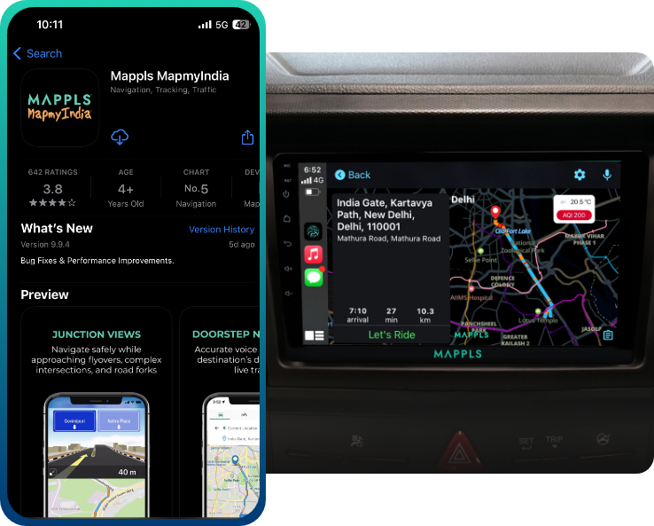
![]() Navimaps
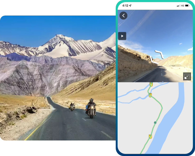
Navimaps
Offline navigation maps and app
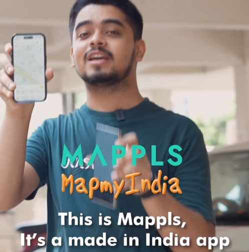
![]() Mappls App
Mappls App
Super app for maps, safety, and more
-
![]() Navigation SDK
Navigation SDK
Connected embedded navigation
-
![]() RouteNet
RouteNet
Connected embedded navigation
![]() Traffic AI
(coming soon)
Traffic AI
(coming soon)
Convert movement data to traffic analytics
- Digital Twin
- Consumers
- Developers
- Solutions
- Consumer
- Developers
- Developers
Developers
- Map APIs & SDKs

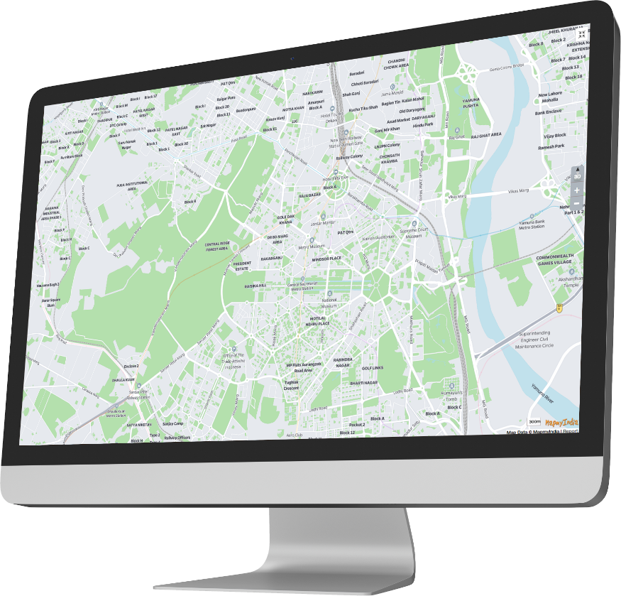
 Maps
Maps
SDKs for maps and traffic

 Personalisation SDK
Hyperlocal, personalised O2O marketing

 Search &
Geocoding
Search &
Geocoding
APIs for search and discovery
-

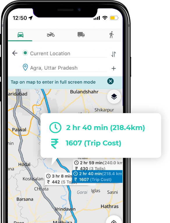
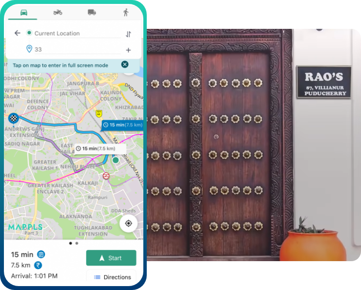
 Routes & Navigation
APIs to solve complex routing problems
-

 Navigation SDK
Connected embedded navigation
-
![]() Optimisation
APIs & SDKs
Optimisation
APIs & SDKs
Route planning & optimisation

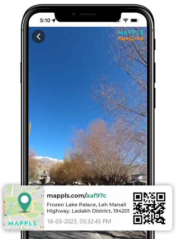
 RealView APIs
APIs for 360° panoramic images
- Analytics APIs
- Telematics APIs & SDKs
- Mappls Apps APIs & SDKs
- Advanced APIs & SDKs
- Use Cases
- Documentation
- Demos
- Map APIs & SDKs
- Contact us
Mappls App
Explore more