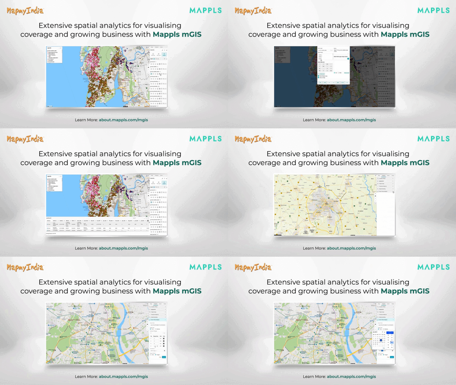
A leading government bank uses Mappls mGIS to know their current branch locations and visualise the coverage area. Geoanalytics for credit risk assessment, negative area mapping for lending decisions, and NAT-CAT analysis are some of the key features offered by mGIS.
Learn More about.mappls.com/mgis/


