MapmyIndia, with its power of maps & location based IoT solutions, is addressing the needs of organizations in the space of Journey Risk Management. The solution addresses in identifying locations & intensity of static & dynamic hazards, determining impacts & assessing associated risk scores of the routes as well as of the drivers. An increasing number of applications in the transportation industry rely on the availability of accurate high definition digital maps, describing the road network geometry with attributes such as; absolute height, slope, sharp turns, road width, speed limit, number of lanes,
stop sign, zebra crossing, traffic signal, blind turns & pedestrian. The role of spatial correlation further analyzes the spatial viability of emergency services offered for Journey Risk Management. Map identification of the accident-prone zones, hospitals, police stations, fuel stations etc. along the roadways using digital mapping helps with planning, response & recovery efforts, and situational awareness. The high definition map applications and getting information on telematics data from onboard sensors and IoT devices enhance spatial perception. Building rich 3D maps using HD map, Lidars & sensor data attributes, provide recognition and situation awareness to In-vehicle systems & drivers.
To build these High Definition 3D maps with Information about the road infrastructure and potential risks of driving on different routes as well as driver behaviors, MapmyIndia possesses the complete state-of-art technologies that include advanced car survey, Real-View Survey, IoT devices and smart mobile applications. Efforts to enhance road safety are based on the engineering and evaluation of road infrastructure where digital mapping plays a crucial role for safer roads.

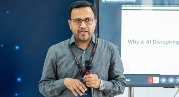
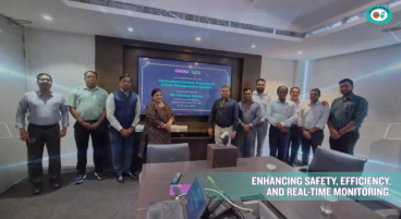
Giving a reality check on what the risks are and how using high definition digital map applications address the challenges of the road journey, MapmyIndia participated on the panel of “Journey Risk Management in Roadsafety” at Federation of Indian Chambers of Commerce & Industry (FICCI) event “Role of Corporates in Road Safety” Rishin Kalra Senior Vice President, MapmyIndia, gave insights on the spatial perspective of the Journey risk management with future of high definition maps and telematics data as a part of its products & solutions would play a big role to mitigate road risks and serve the society at large